
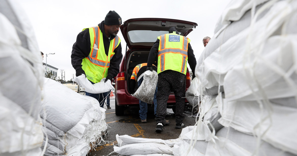
California Governor Gavin Newsom declared a state of emergency Wednesday as a powerful storm expected to bring heavy rain, snow and flooding began its potentially dangerous onslaught.
Mandatory evacuation orders were in effect for several Northern California cities, including Richmond in the Bay Area and Watsonville in Santa Cruz County.
North of San Francisco, in Mill Valley, heavy flooding was reported at a busy freeway underpass, and the Silicon Valley city of San Jose declared a state of emergency ahead of Newsom’s announcement.
“We anticipate this could be one of the most challenging storms to hit California,” said Nancy Ward, director of the Governor’s Office of Emergency Services.
Newsom’s statement will allow state agencies to respond quickly as the storm develops and support local jurisdictions.
While the precipitation seems out of character for the drought-stricken state, California would normally expect to see this type of rain during an average winter, experts said.
«These are not big storms, I think yet, historically by California standards, but they are big storms during this dry spell that we’ve had the last few years,» said Jay Lund, deputy director for watershed sciences at the University of California. California. Davis.
Storm systems could tax infrastructure that hasn’t seen large flows in years.
«With flood infrastructure, you don’t know if you have a problem until it’s too late, there are many ways levees can fail and we have thousands of miles of levees downstream from reservoirs,» Lund said. «They haven’t been tested in several years.»
Operators of some of California’s smaller reservoirs, like Folsom Lake, were already full and had to release water despite the drought. But the largest reservoirs still had plenty of capacity. Lake Shasta was 34% full and Lake Oroville was 39% full on Wednesday, according to the California Department of Water Resources website.
«They’re still pretty low, and I’d be impressed if these storms would fill those two pretty big reservoirs that are still pretty low after a few years of drought,» Lund said.
This year, the state’s snowpack was off to one of its best starts in 40 years, at 174% of the all-time average, the third-best measurement in the last four decades, state officials said. Even more snow is expected later this week and through the weekend.
Water officials remain cautiously optimistic about the effects the current rainfall will have on the ongoing drought.
“Sierra’s significant snowpack is good news, but unfortunately these same storms are causing flooding in parts of California,” Karla Nemeth, director of the state Department of Water Resources. said in a statement. “This is a prime example of the threat of extreme flooding during a prolonged drought, as California experiences more swings between wet and dry periods brought on by our changing climate.”
In December 2021, California’s snowpack was at nearly 100% of its normal range for that time of year after powerful storms blanketed the Sierra Nevada mountains. Hopes of drought relief quickly faded after heavy snowfall and rain were followed by three months of extremely dry conditions.
Much of California’s water comes from snowmelt in the Sierra Nevada mountains during the winter months, but it remains to be seen if the state’s recent pattern will be enough to offset the ongoing drought.
«We don’t know if it will be a wet or dry year until the end of March. There is very little correlation from month to month,» Lund said. April 1 is a typical high point for snowpack in California, where snowmelt feeds reservoirs in May and June. But that dynamic is changing.
«With the warmer weather we’ve had in the last decade or so, we generally see less snow accumulation than we’re used to and we see it melt faster and we see more evaporation from watersheds,» Lund said. she said she.
Most of the state remains in severe to extreme drought, according to the US Drought Monitor.